Lungis – Viaso (High Path)
Between moraines and pastures: the layout of the past
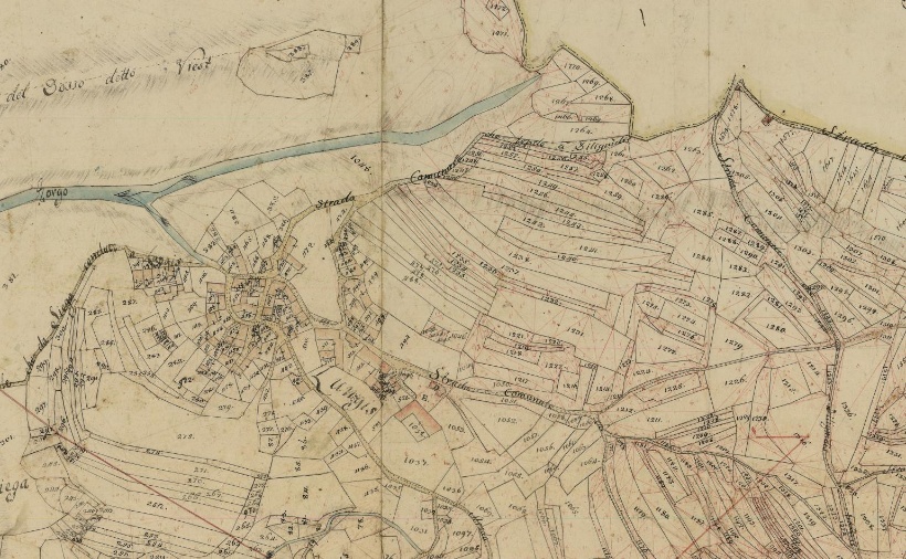
The 1812 map shows how a network of paths connected Lungis to Viaso, crossing through the land parcels of an area that was very fertile and productive at the time. Three main historical routes stood out: the southernmost one crossed the moraine sectors—eroded and washed-out areas that, being less productive, were mainly used for grazing and were partially wooded. “Path no. 9,” on the other hand, wound through the higher northern sectors of Lungis, linking the hamlet with the village of Viaso.
The Legacy of San Giovanni Decollato
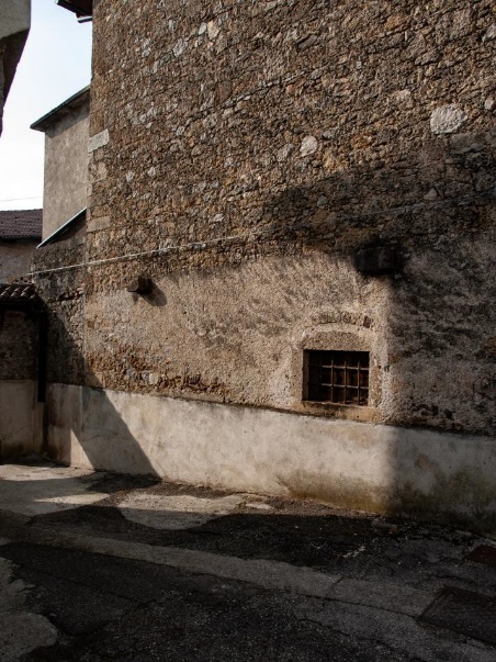
Starting from Lungis, the route initially follows the road that leads from the town center toward the church and the village of Dilignidis. The historic center is full of traditional buildings and offers picturesque views of the rustic outbuildings.
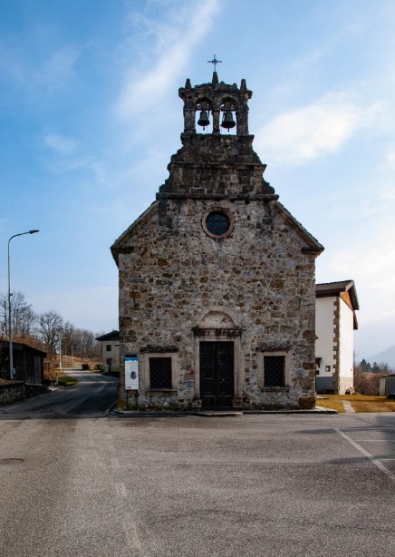
The church of San Giovanni Decollato was built outside the village in the 13th century and remains to this day an element that encloses the town, creating an architectural backdrop of great power at the end of a corridor-like street lined with significant examples of civil architecture.
Towards the historic watering trough
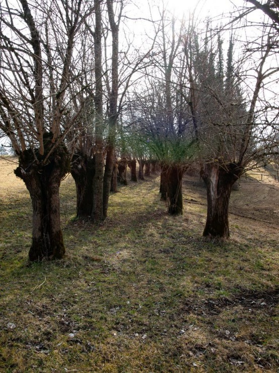
Continuing along, the municipal path intersects the old mule track to Viaso, which features a double-row artificial plantation.
You cross the grassy area of a high, flat moraine ridge, which offers a wide view of the valley’s main peaks. Moving away from Lungis, the meadows gradually give way to secondary successions alternating with artificial crops.

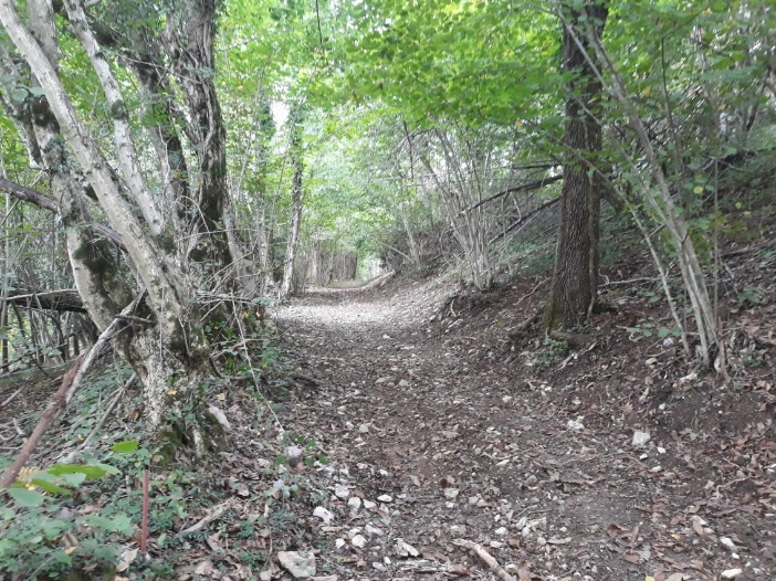
Heading down towards Viaso, through a developing forest, you cross the path coming from Dilignidis. Despite the lush vegetation, the walkway remains wide and in excellent condition.
The final stretch, leading to the small church of Viaso, slopes gently into a dirt road. Halfway along the path, you’ll come across another water basin, which was historically used as a watering hole.