At the mill on the Seazza Stream
The Seazza: a stream serving the community
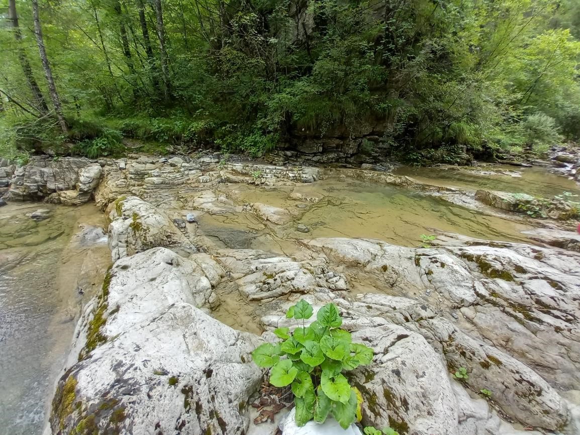
Historical cartography identifies the Seazza mill with the letter N. Compared to the impetuous course of the Tagliamento, this stream had lower flow rates. This characteristic allowed the community to exploit its confined riverbed to build a dam that channeled the water toward the facility. A small canal diverted the flow, leading it to the millrace. The entire local population used this structure, favored not only by its proximity to the settlement and the presence of an easy mule track, but also by the efficiency of a double-wheel system. Furthermore, the course of the Seazza, marked by continuous changes in elevation, guaranteed the safety of the banks even in the event of a flood.

The path and access to common resources
From the village of Preone, the route climbs toward the upper part of town before heading back down along a convenient mule track, historically used for driving livestock to mountain pastures. The path follows a line of gentle natural erosion and was once regularly used by residents to access the shared resources of the hillside.

Near the ford on the Seazza, the path forks: the right branch leads to the ruins of the Lupieri mill.

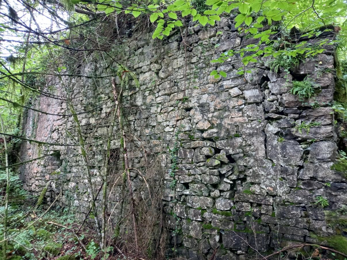
Architecture and operation of the Lupieri mill
Today, only some of the masonry remains of the mill, allowing us to grasp its architectural form. The miller lived in a very cramped space on the first floor, while the ground floor housed the millstones and equipment. Grain arrived in small quantities, carried on the backs of mules. On the wall facing the valley, you could admire the two water wheels, powered by wooden flumes (the leats).

The exact placement of the wheels can still be identified: the holes where the drive shafts emerged to transfer the rotation to the internal millstones are visible on the southern wall. Above the structure, the large headrace pool, enclosed by a well-preserved embankment, is also still clearly distinguishable.
In this stretch, the course of the Seazza is shaped by a series of nearly vertical faults that create natural sills, capable of dampening the water’s kinetic energy. This conformation made the stream relatively safe even during floods, despite the steep slope of the creek.
Once across the ford, you enter an area of land that was originally managed collectively by the local inhabitants.