Voltois – Feltrone
The historical landscape
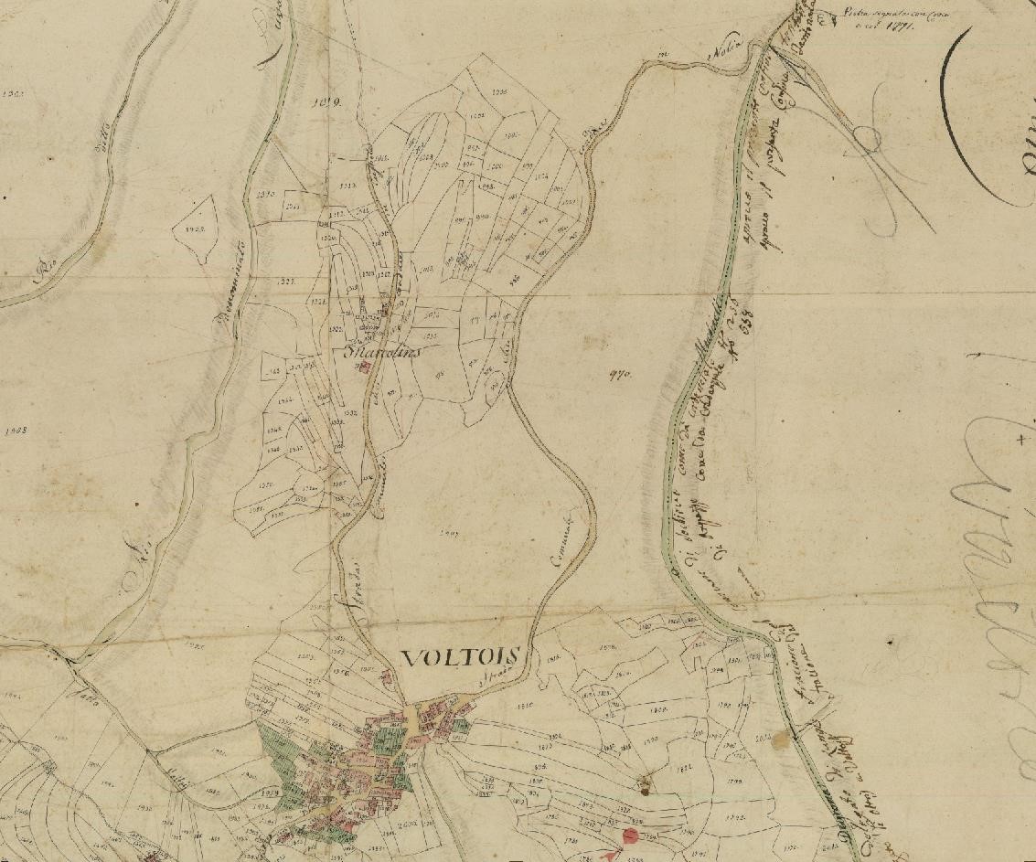
The 1812 cartography identifies the route to Feltrone as the road leading directly to the locality of Nolia. After crossing the Negrona (or Degrona) stream, the path climbed a slope that was historically disputed between the communities of Lungis, Dilignidis, and Feltrone.
In this area, each municipality managed narrow strips of land characterized by wooded meadows, coppices, and forest zones. Near the village of Voltois, forest management was rigorous: below the path, the woods were managed as coppice, with frequent harvesting every 5-6 years to exploit the stumps, while above the path, the high forest was preserved. On the Marcolins slope, however, the properties of the Spangaro family prevailed, used for arable land and permanent meadows.
The ancient axis of the highlands
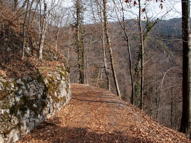
Near Voltois, the path becomes almost as wide as a road, having been expanded for the installation of the local aqueduct to take advantage of the abundant springs on the slope.
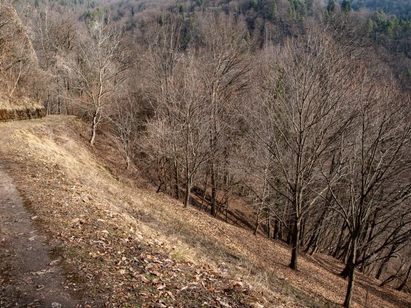
Historically, this axis connected the two highest villages in the valley, those that relied most heavily on the resources of the slope. The first stretch of the road marked a clear visual boundary: on one side the majestic high forest, on the other the coppice which, thanks to the low-hanging branches, provided a brightness that has since been lost.
The evolution of the forest and historical boundaries
Currently, the abandonment of coppicing practices is transforming the tree cover into a mixed and uniform high forest. Consequently, the thinning of light and the accumulation of leaf litter are leading to the progressive disappearance of the flora typical of permanent meadows.
Along the way, you’ll come across another spring which, in addition to feeding the town’s central fountain, used to provide water for the livestock during their evening return.
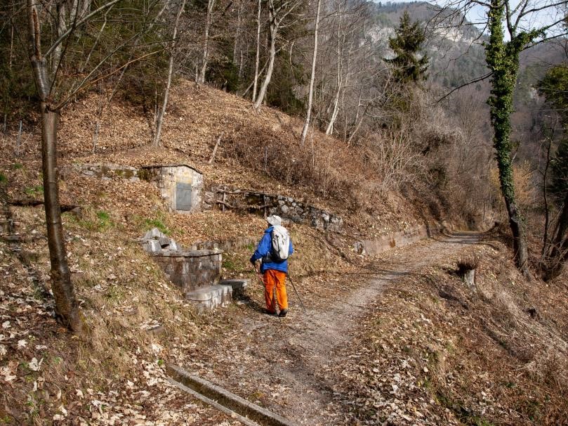
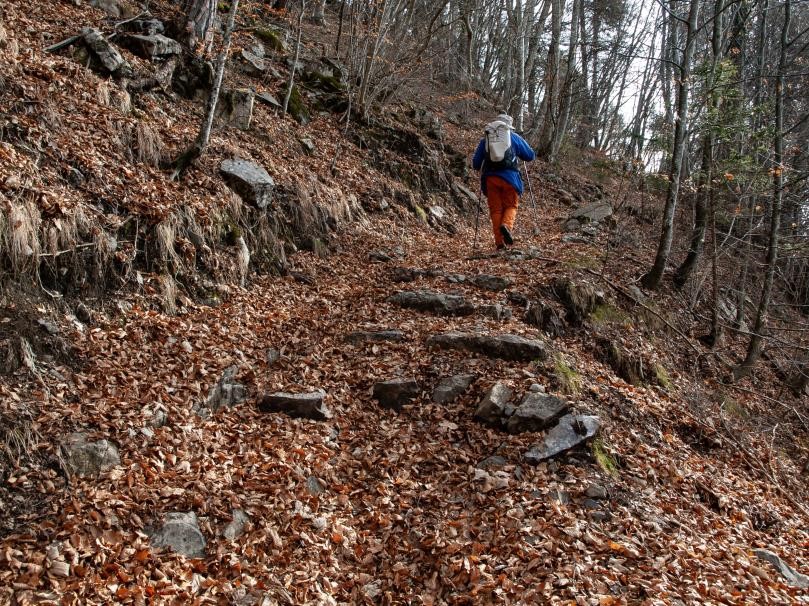
Beyond the ford, the historic path becomes more distinct, featuring simple man-made structures and entering a wooded area currently being converted into high forest.
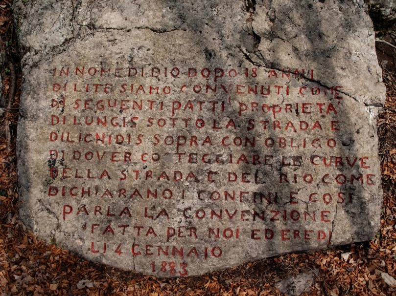
As a testament to the ancient border disputes between the villages, a large stone is preserved that marks the boundary between the public lands of Lungis and Dilignidis. It is an artifact that serves as a reminder of how, despite the administrative unity of the Municipality of Socchieve, the individual hamlets maintained their autonomy in managing collective properties well into the nineteenth century.