Preone – Socchieve
The Tagliamento between Preone and Socchieve: history of a changed landscape
The ancient road connecting Preone to Socchieve had to constantly contend with the impetuousness of the Tagliamento, a river that today shows significant flow only during floods. Once, the waterway represented a vital resource: not only for gathering drifted wood and grazing along the banks, but above all for the hydraulic energy that powered numerous workshops built on the higher terraces.
Descending from the village of Socchieve toward the Lumiei stream, one would encounter three mills and a fulling mill for beating flax and hemp. In Preone, along the lower terraces, there stood instead three remarkably large workshops, powered by a canal that flowed at the base of the slope.
Today, both the canal and the mills have almost entirely disappeared, just as the river itself seems to have “vanished,” having moved away from its original bed and lost its violent seasonal floods. This change is the combined effect of hydroelectric intake works that divert the water toward the Somplago power station.
Monuments of the past: the nineteenth-century embankment
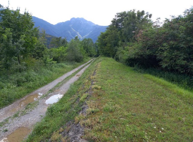
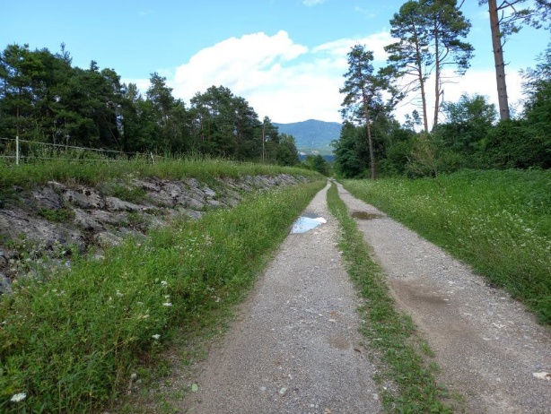
Starting from Socchieve, you take a dirt road that once ran right alongside the Tagliamento. Along this path, in the mid-nineteenth century, an imposing embankment was built to protect the lowlands. Behind it, there were also plans to build a new mill equipped with a loading basin. Although the structure has lost its hydraulic function today, its monumental scale bears witness to how fearsome the river was in historical times.
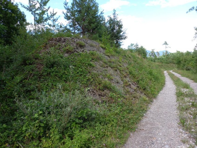
The embankment, made of earth, is entirely faced on the outer side with squared limestone blocks that sank several meters into the riverbed. This remarkable feat of engineering is destined to remain in the landscape like a “fossil” for centuries to come.
Originally, travel between Socchieve and Preone relied on dangerous fords or paths that climbed the slope near the current bridge and in the Spaia area. The old road network followed the terraces on the left bank along routes that have now been completely wiped out.
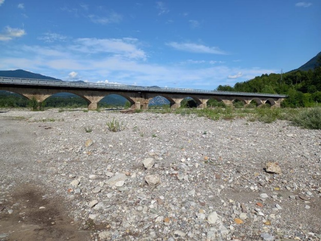
A significant turning point occurred starting from the mid-nineteenth century, when the service road for embankment maintenance was transformed into the main connecting axis toward the wooden bridge built between the two banks. This structure remained the landmark for the area until the mid-twentieth century, when it was permanently replaced by the current masonry bridge.
Traces of the factories in Preone
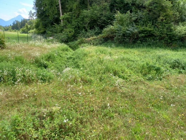
After crossing the bridge on the bank of Preone and heading left, the wide riverbed opens up where the Tagliamento used to constantly change its course. Here, a canal drew the water needed to power three factories.
Currently, only faint traces of that production system remain. Of the first factory that stood at the start of the eastward path, the loading basins can still be made out to the right of the road. The central building can be identified in an area now fenced off by private owners. The last factory was located where the sports field stands today.