At Viaso’s mill
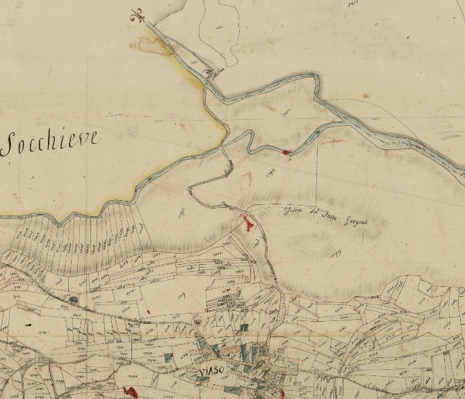
The 1812 map shows the road that led from the town center to the mill, starting from the main intersection of medieval roads. The building stood on the border with the territories of Dilignidis and Enemonzo, the point where the path ended.
Upstream from the mill, a small intake structure allowed the meager flow of the stream to be intercepted, channeling it toward a large loading basin situated in an elevated position relative to the structure.
From here, a wooden flume diverted the water onto the wheels that powered the millstones. After the drop, the water flowed back into the stream through hydraulic works designed to dissipate its residual energy.
On the trail of the ancient Viaso mill
The current route begins at the historic intersection in the center of Viaso and, following the northern stretch of Via San Giovanni, rejoins the original ancient path. In this first segment, the width of the roadway was altered during past planting projects on the municipal slope.
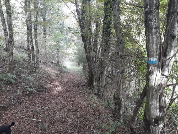
Heading down toward the first ford, the forestry service road is still clearly visible. Immediately after, however, the path returns to its original size. The narrowness of the passage shows how, in the past, flour could only be transported to the mill by carrying it on one’s shoulders or by mule.
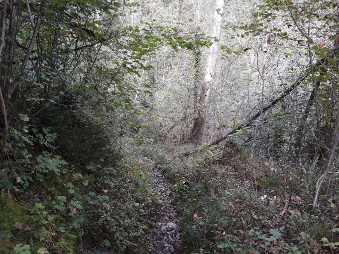
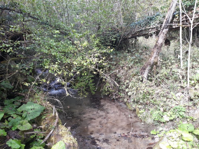
The route continues along a forest track that heads into the narrow part of the valley. Here, the path descends toward the Rio Chialderuz before gently climbing back up toward a ridge and descending again until it crosses the Rio Dusili. The latter has a greater flow, which in the past was enough to ensure the filling of the loading basin.
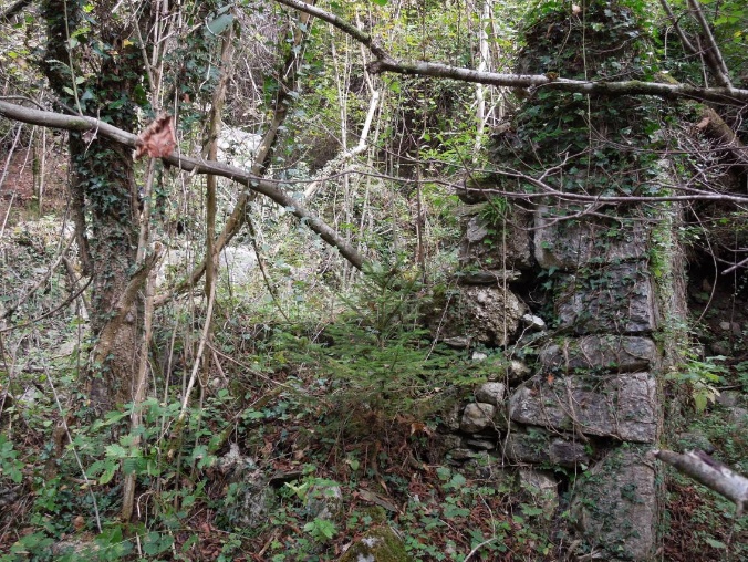
Only a few ruins of the mill remain today, due to the collapse of the vast roof many decades ago. Although some good-luck crosses are still visible on the front door jamb, no trace remains of the old system of flumes and the wheel: since they were made largely of wood, they have been lost over time. The millstones, in all likelihood, lie buried under the rubble.

The wheel was located on the east side of the mill, powered by the wooden flume. Once the push on the blades was spent, the hydraulic force was dampened by two artificial walls that created two small waterfalls. Upstream of the structure, the large forebay that served as a water reserve is still recognizable, created by excavating the slope and building a long containment embankment. Today, this structure is completely overgrown with vegetation.
Much of the trail crosses the collective lands of Viaso, in a recently planted woodland setting. However, these woods are not very stable, due to the excessive height of the trees in relation to their rather shallow root systems.
